Mobility Analytics and Decision Sciences

About
Transportation systems are highly dynamic, complex on wide temporal and spatial scales, and this is particularly the case in smart cities where transportation infrastructure and vehicles communicate and interact with each other and other components of the cities. Efficient modeling of these systems is a prerequisite for developing and evaluating innovative transportation solutions. My interest lies in the use of analytical and computational system theories to fully describe and control the complex dynamics of interactive networks and systems. I focus on the design of innovative transportation system solutions by integrating emerging concepts with technologies. Below are three examples of our work in this direction:
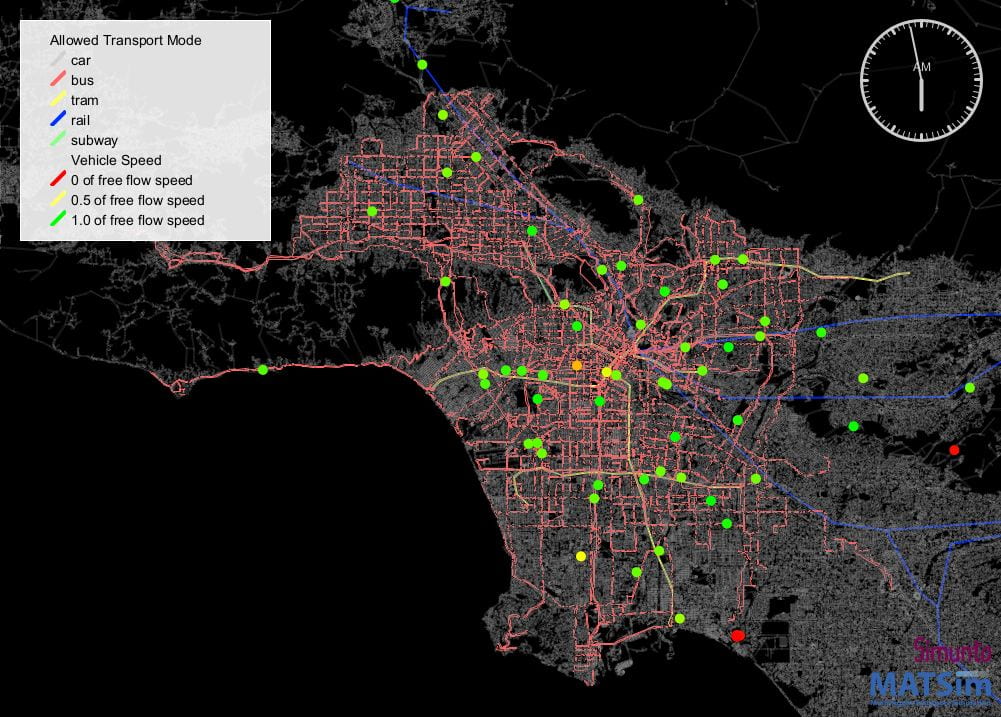
Exhibit 1 – LA Sim: Dynamic Mesoscopic Network Modeling for LA
As cities expand and new transportation technologies emerge, urban transportation systems are becoming more and more intricate. City planners and transportation policymakers need models that can support the decision-making of time-sensitive planning and policy evaluation to ensure transportation system sustainability and equity. The LA Sim project is to fill this need by developing an agent-based large-scale transportation simulation model for Los Angeles (LA) County. The simulation model can integrate data and modeling capabilities to analyze and evaluate new technologies such as connected automated vehicles, electric vehicles, and diverse policies on a large scale. The model developed will be used as a testbed for LA County, while the modeling framework can be easily duplicated for other urban areas.


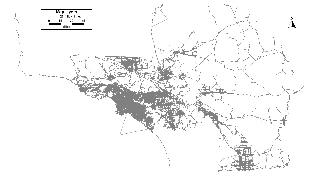
Exhibit 2 – Regional Activity-based Models for New Mobility Evaluation
As the Connected Automated Vehicle (CAV) technologies and services are emerging and becoming future transportation solutions, the project aims to develop planning-level tools for analyzing and evaluating the impacts of CAVs on urban transportation systems. The analysis/tool back tracks to travelers short- and long-term choice behavior and household activities. Based on the 2016 Regional Travel Demand Model from the Southern California Association of Governments (SCAG), the tools will support the CAV-related decision-making from short term to long term for public agencies.
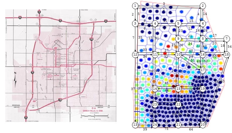
Exhibit 3 – Electric Vehicle Sharing
We designed a framework to determine infrastructure planning and daily vehicle operations of a large-scale electrical vehicle sharing system. My model determines the optimal EV sharing station locations and the corresponding EV fleet sizes to minimize the comprehensive system cost, including station construction investment, vehicle charging, transportation, and vehicle balancing. The NP-hard network optimization problem was then efficiently solved by the application of a continuous approximation approach. The Exhibit below shows the result of one scenario of Sioux Falls case study using the proposed framework.


Exhibit 4 – IMRCP: Integrated Modeling for Road Condition Prediction
Working with our partners (Leidos, Synesis Partners), our team is developing the IMRCP tool that gathers historical, real-time, and forecast data from a variety of sensor systems and models for the FHWA Road Weather Management Office. These data and models include atmospheric and road weather, hydrology, traffic, work zones, winter maintenance operations, incidents, special events, and demand models. The IMRCP system then combines all of this information in predicting road and travel conditions. In particular, we are developing AI/ML-based real-time (or near-real-time) algorithms to enhance operational awareness and ensure informed planning and response for transportation agencies.
